
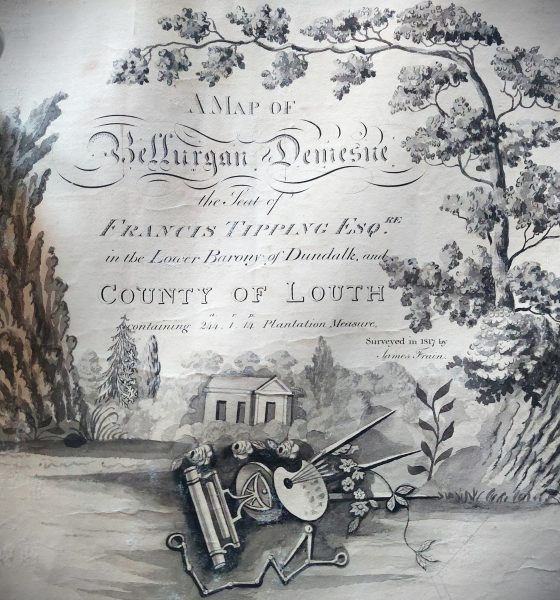
This lecture by Mr Luke Murphy provides an introduction to estate cartography in Ireland during the eighteenth and early nineteenth centuries, how its development coincided with and reacted to wider trends in the history of landed estates, and the role cartography played in estate management. This is discussed in relation to a sample of estates in north County Louth, and the maps and cartographic materials pertaining to them.
Luke is currently a PhD candidate at DKIT. His lecture is based on his PhD research to date.
The recording of this lecture is available at https://youtu.be/lwevckuq1Bk.
The lecture will be held online via Zoom on Tuesday 22 November 2022 at 8.00p.m.
The link for the lecture will be posted on this page the previous day and will also be emailed to members.
The Zoom link for the lecture is
https://us06web.zoom.us/j/88670012398
Meeting ID: 886 7001 2398
Attendance is open to all. No registration is required.
Log on will be possible from 7.45. The lecture will begin at 8.00 sharp.
Event Details
VENUE & TIME
Event Location:Zoom
Event Time:8:00 pm
DATE